

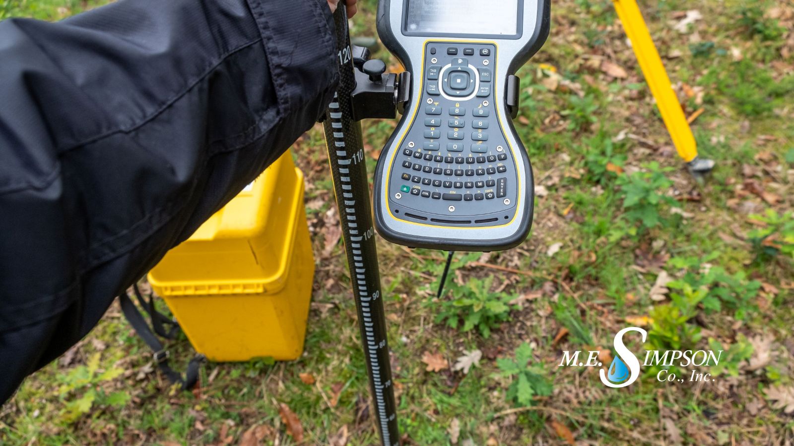
The Importance of GPS Mapping for Water System Asset Management
Jacob Fox, Regional Manager
November 9, 2026
A water distribution system is made up of thousands of interconnected assets, including valves, fire hydrants, water meters, service lines, and other critical infrastructure. Knowing where these assets are located, understanding their condition, and maintaining accurate records are essential to operating a reliable water system. However, many utilities still rely on outdated maps, incomplete records, or institutional knowledge to locate and manage their infrastructure.
GPS mapping provides utilities with a practical way to improve asset visibility and build a more accurate picture of their distribution systems. By collecting precise location data and documenting important asset information, utilities can strengthen their GIS-based asset management programs, improve operational efficiency, and make more informed infrastructure maintenance and capital planning decisions.
Building an Accurate Record of Water System Assets
Effective asset management begins with knowing what infrastructure a utility owns and where it is located. Accurate water distribution system asset inventories allow utility personnel to identify critical components, understand system layout, and access important information when planning maintenance or responding to operational issues.
GPS mapping uses Global Positioning System technology to establish the geographic locations of water system assets. Through GPS asset inventory surveys, field personnel can collect coordinates and associated asset information for valves, hydrants, meters, and other infrastructure, creating a more reliable inventory of the distribution system. This field-verified information can be incorporated into a Geographic Information System (GIS), allowing utilities to view their assets spatially and connect location data with additional information such as asset type, size, material, installation date, and operational condition. Over time, this GIS data becomes an increasingly valuable resource for managing, maintaining, and assessing water distribution infrastructure.
Improving Maintenance and Operational Efficiency
Accurate GPS/GIS asset mapping helps utility personnel locate infrastructure quickly and plan preventive maintenance activities more effectively. When valve locations are documented, crews can identify the appropriate assets for valve exercising, inspection, and emergency isolation. Similarly, mapped hydrants provide a clearer picture of available fire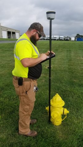 protection infrastructure and help utilities organize hydrant inspection and maintenance programs.
Without reliable location information, field crews may spend valuable time searching for buried or poorly documented assets. In some cases,
utilities may need to rely on experienced employees who are familiar with the system but whose knowledge has not been formally documented. GPS mapping and field verification help preserve that institutional knowledge and make it accessible to current and future personnel.
Accurate asset inventories also support more organized maintenance schedules, allowing utilities to track completed work, identify overdue inspections, document asset conditions, and prioritize infrastructure requiring additional attention or rehabilitation.
Supporting Emergency Response
When water main breaks or other distribution system emergencies occur, the ability to locate and isolate the affected section of pipe is critical. Accurate GPS valve mapping can help crews identify which valves need to be operated to isolate a problem area and restore service as efficiently as possible.
GIS mapping also helps utilities understand the relationships between different system components. By viewing valves, hydrants, water mains, and other infrastructure together, personnel can better understand system layout and identify the assets involved in an emergency response. Reliable, field-verified mapping information can reduce uncertainty during time-sensitive situations, helping crews spend less time locating infrastructure and more time addressing the problem.
M.E. Simpson Co., Inc.’s GPS Mapping Services
M.E. Simpson Co., Inc. provides GPS/GIS mapping and field data collection services to help water utilities improve the accuracy and completeness of their water distribution asset inventories. Our field personnel collect, verify, and document the locations of critical water distribution assets, including valves, fire hydrants, meters, and other infrastructure.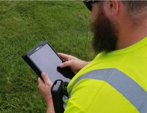
Using specialized GPS equipment and field data collection methods, MESCO helps utilities establish reliable asset location records that can be incorporated into existing GIS and asset management platforms. Our services support new asset inventory development, field verification of existing records, and updates to outdated or incomplete water system maps.
By combining field data collection experience with our knowledge of water distribution infrastructure, MESCO helps utilities develop more accurate GIS asset records and establish a stronger foundation for preventive maintenance, infrastructure assessment, and long-term capital improvement planning.
Building a Better Understanding of Your Water System
Accurate GPS mapping is an important investment in the long-term management of water distribution infrastructure. Knowing where assets are located and maintaining reliable GIS records helps utilities improve maintenance practices, support emergency response, and make informed decisions about infrastructure rehabilitation, replacement, and future capital improvements.
Whether a utility is developing its first comprehensive water system asset inventory or updating existing GIS records, accurate field data is essential to making that information useful.
Contact M.E. Simpson Co., Inc. to learn how our GPS mapping and asset data collection services can help your utility improve system visibility and strengthen its water distribution asset management program.